Lobdell Reserve - 8 miles of trails
Muskingum County Trails
Dillion State Park - 15 miles of trails - 38 min. 23 miles
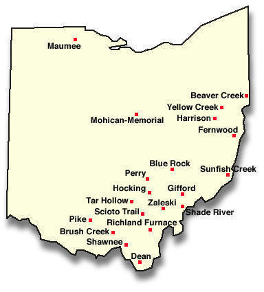
Blue Rock State Forest - 26 miles of trails - 57 min. 47 miles
Perry County Trails
Perry State Forest - 8 Miles - 35 min
Coshocton County Trails
AEP Map of Conesville Horse Trails (Coshocton County) (PDF: 259KB)
AEP Map of ReCreation Land Equine Activity Area (Morgan County) (PDF: 40KB)
Other areas
Wayne National Forest
Above locations have well groomed and marked trails.